Following hike is perfect for hot summer days as it is just next to the Traunsee, with amazing views to the walls of Traunstein on the other side of the lake. Alternatively as well very suitable for autumn or fall, when there's too much snow on higher evaluations, due to being nearly all in the forest it's avalanche (and sun) safe. Easy to reach with train and several shorter hikes can be extended to one nice long one as well. Summer hike was in July 2022, Winter in December 2021.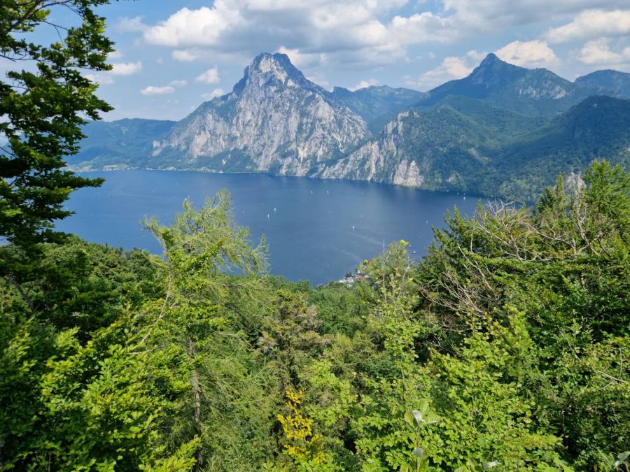
A awesome view, a bit fjord-like: Traunsee with Traunstein in the back, bit further to the right (not visible) is the Erlakogel, also a cool hike!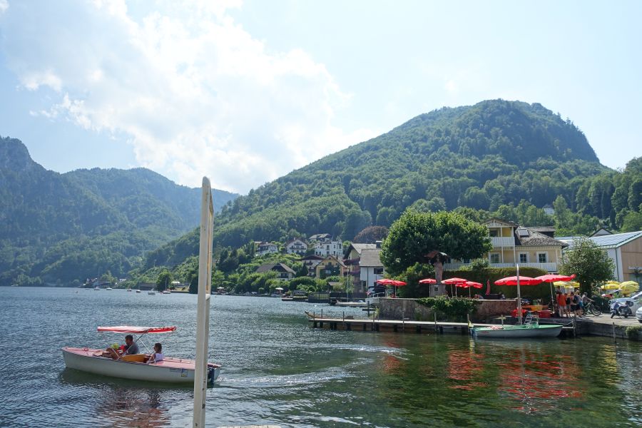
View from close to the swimming spot in Traunkirchen, boats to rent and the hill in the middle has two of the possible peaks: Geißwand and Baalstein.
Option 1 Großer and Kleiner Sonnstein, Ebensee to Traunkirchen: 6,5 km and 800 m ascent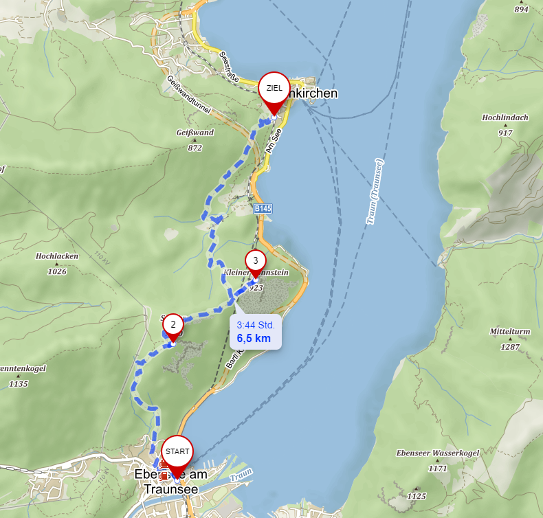
Source mapy.cz
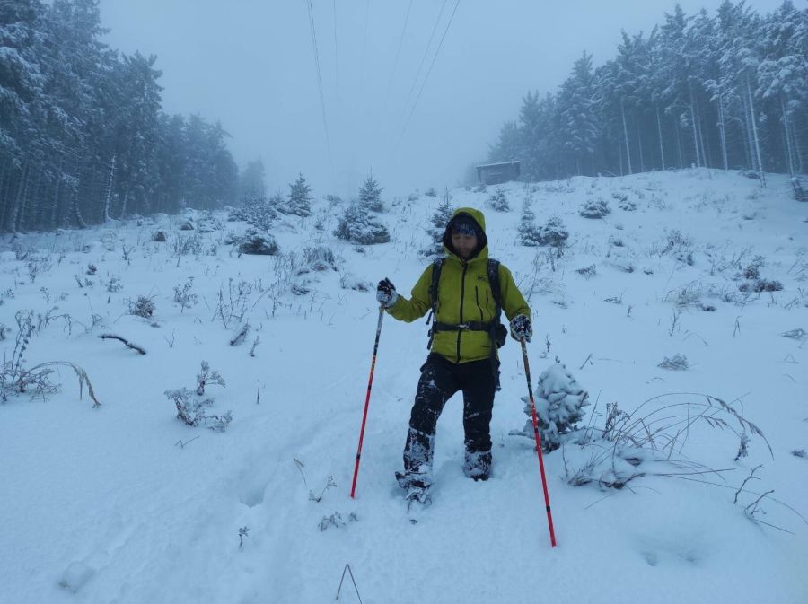
Taking the train to Ebensee Landungsplatz (around 1.5 h from Linz), from there you just follow the signs. As you can see on the pics below, also no bigger problem during winter with fresh snow with approbiate equipment. Can be a pure winter wonderland!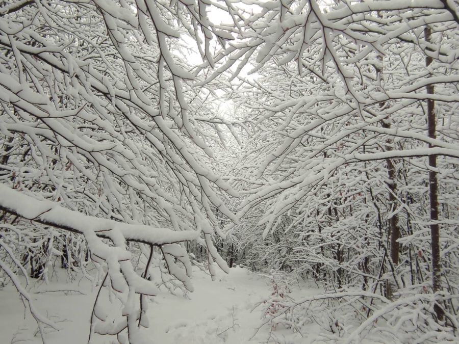
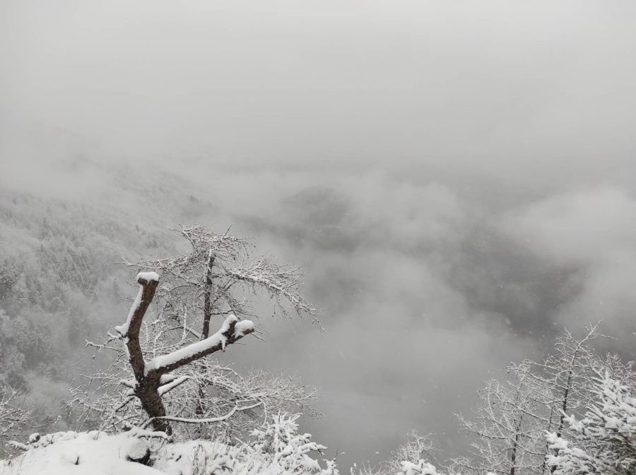
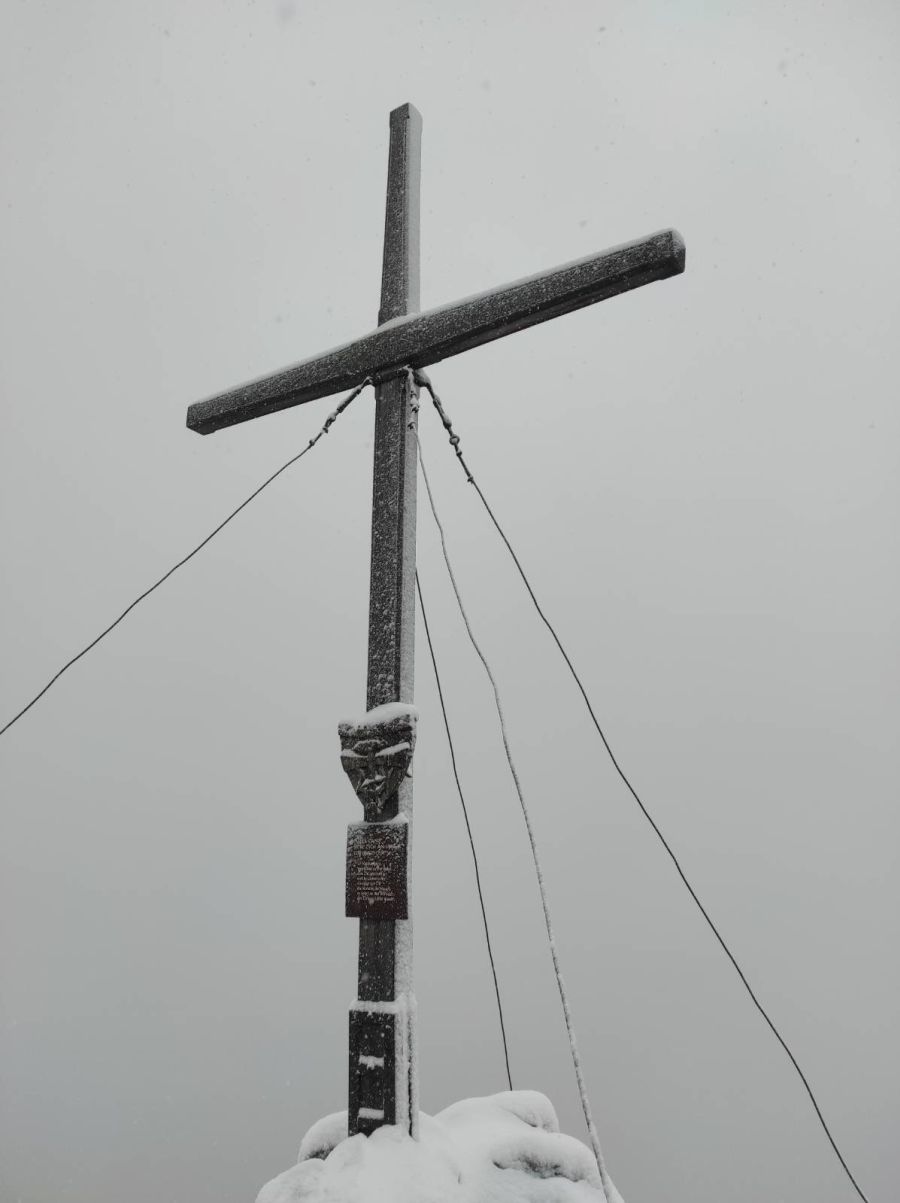
Summit cross of the Großer Sonnstein, theoretically it is known for a nice view, winter wonderland was a good return though.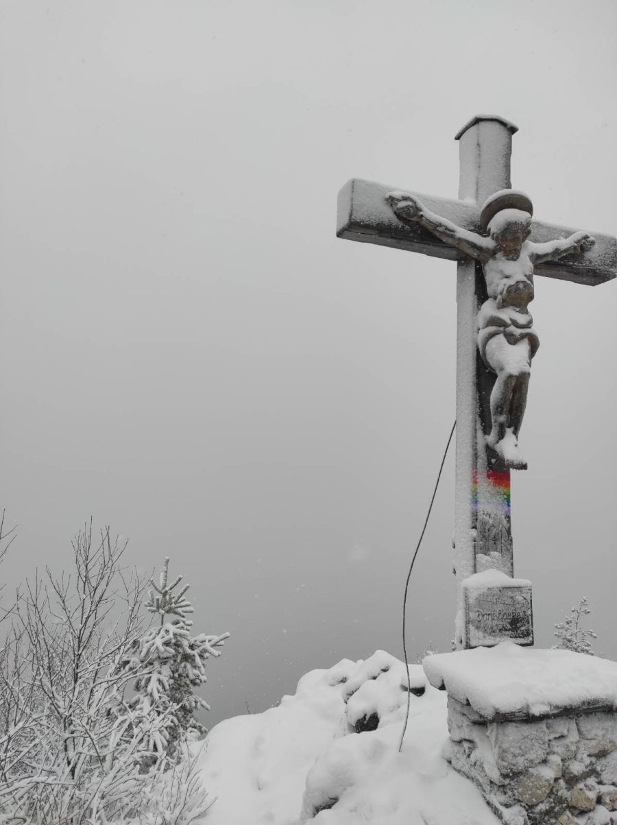
Cross of Kleiner Sonnstein. Next to it is the Sonnsteinhütte, open on weekends, holidays and during school holidays, no sleeping.
Option 2: Baalstein-Geisswand: 4 km, 500 m ascent: 2-3h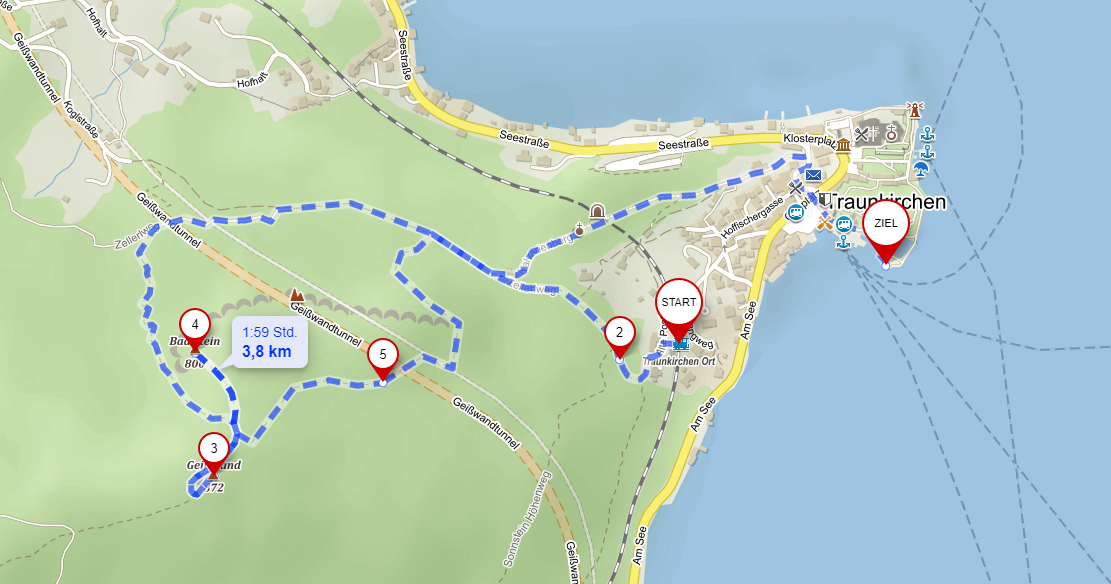
Source mapy.cz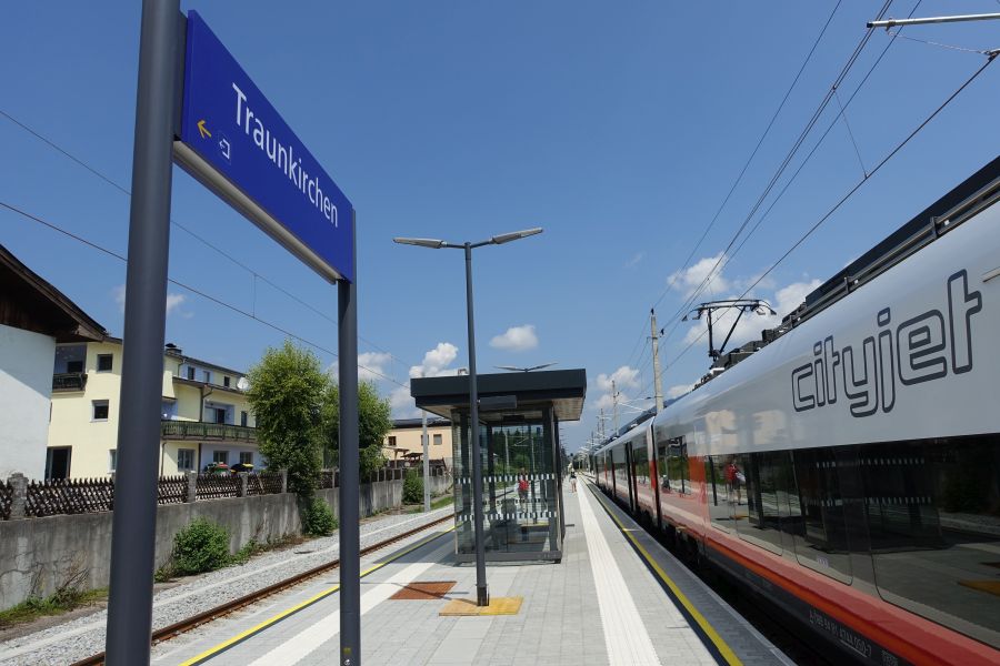
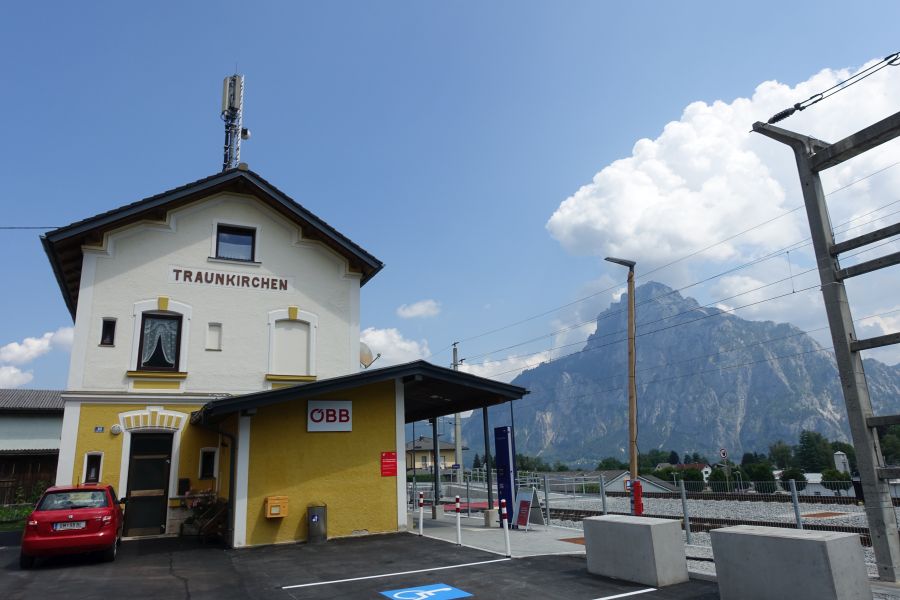
One of the best location for a train station, there are two in Traunkirchen: from Traunkirchen Bahnhof it is around 20 min walk to the center, more central is Traunkirchen Ort Bahnhof, not every train stops in both, so check beforehand.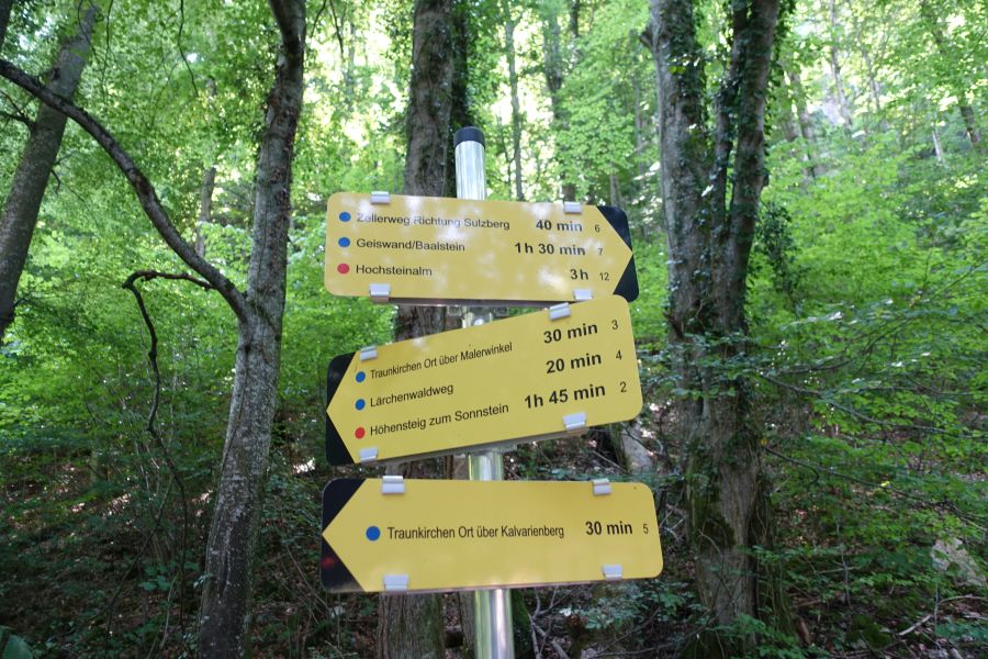
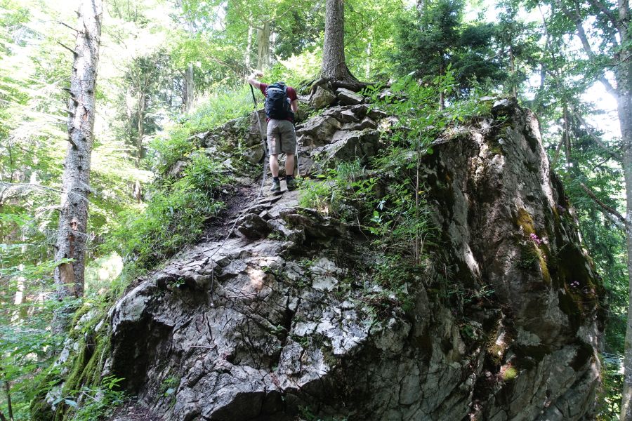
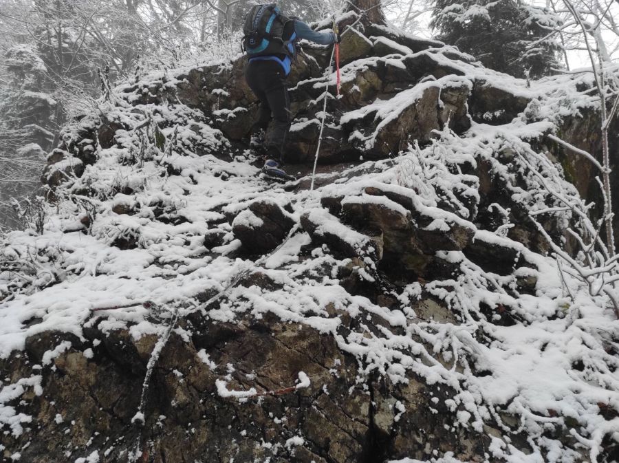
When descending from Baalstein (or ascending, depending on directions), there is this short rope-secured part, in summer no problem at all, in winter also no bigger issue, but with wet rocks more caution is always advised!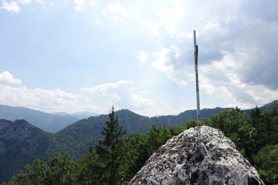
Summit of Geißwand, thze view to the back is already opening a bit, not much is missing and Dachstein would become visible.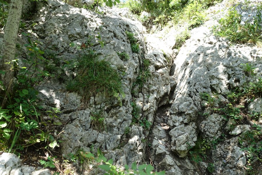
Short rope-secured to Baalstein.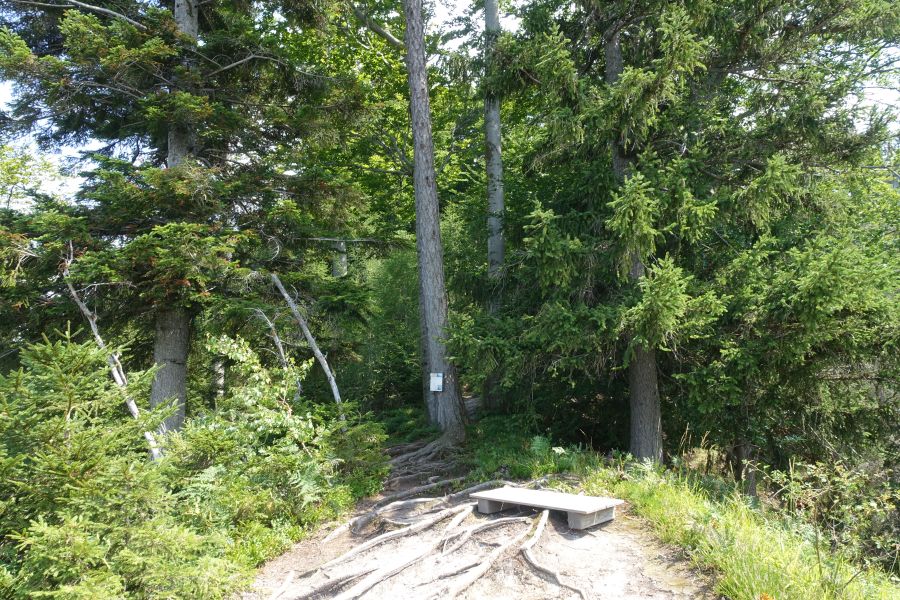
"Summit" of Baalstein, more a nice viewing point but less of a summit.
To the right the main path up to Geißwand/Baalstein, the forest path to the left is the one, where you descend the Panoramaweg Geißwand/Baalstein. On the upper map along point 5.
Option 2a via option 2 to Fahrnaugupf and back as a roundtrip: 9,5 km, 900 m ascent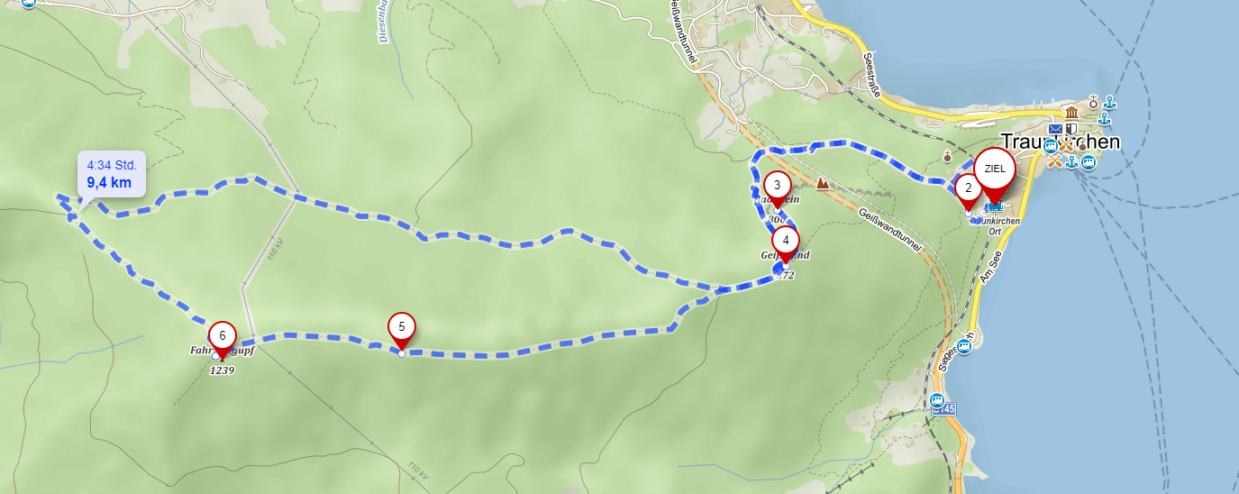
Source mapy.cz
Rock to the left is Geißwand, the ridge is the whole tree line to the right, a "forest ridge", do not expect an alpine ridge here, doable with snow, also with children, fun to go!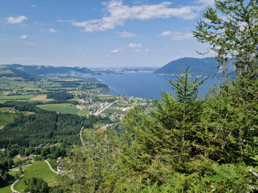
Option 3 Combination of all shorter hikes: 16km and 1700 m ascent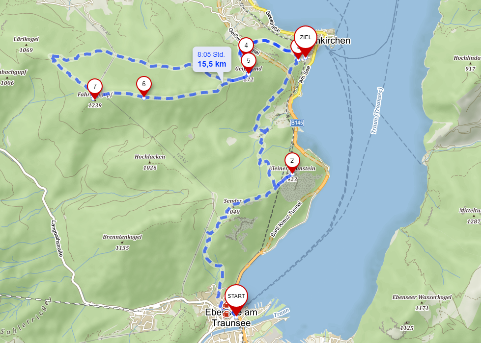
Source mapy.cz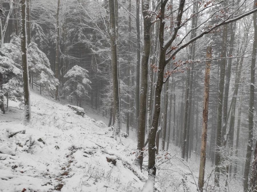
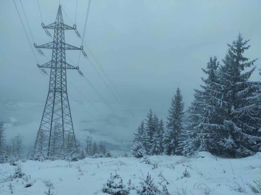
This is a real nice combination in off-season to still get many vertical metres without avalanche danger and repeating the same hills, we shortened it a bit and walked down via the electric-line-system down, only possible with a lot of snow due to mountain pines. Untill the end we were undecided if it was smart, mixture of sliding and falling over pines, but very fast and once you are wet fun to do! In summer no option and just along the path definitely the way to go!