One of the nicest short circuits around a mountain in Austria is definitely around the Gosaukamm in Upper Austria and Salzburg (Rund um den Gosaukamm). For motivated people, who start early, it's also doable in a day, but for me with public transportation this was less tempting. Therefore, I decided to make a relaxed two-day hike in an amazing landscape and hope for some sunset and sunrise. The hike can be started from anywhere around the Gosaukamm, but I would say the best and most beautiful one, is the Gosausee. Pictures are from early June 2022.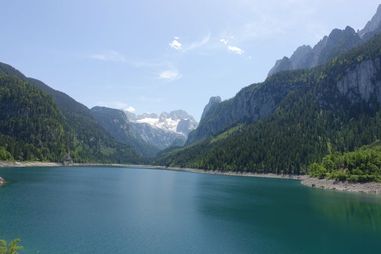
Top: beautiful view. Bottom: also beautiful view but in addition some touristic shops, which you will not find on too many pics posted on Instagram.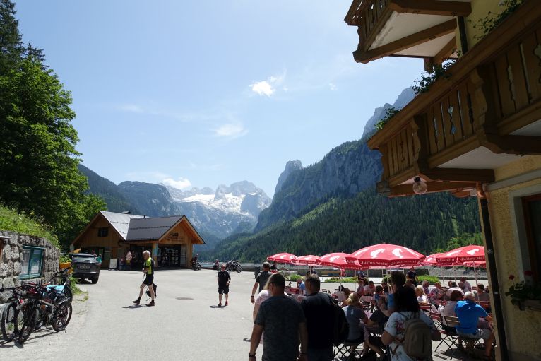
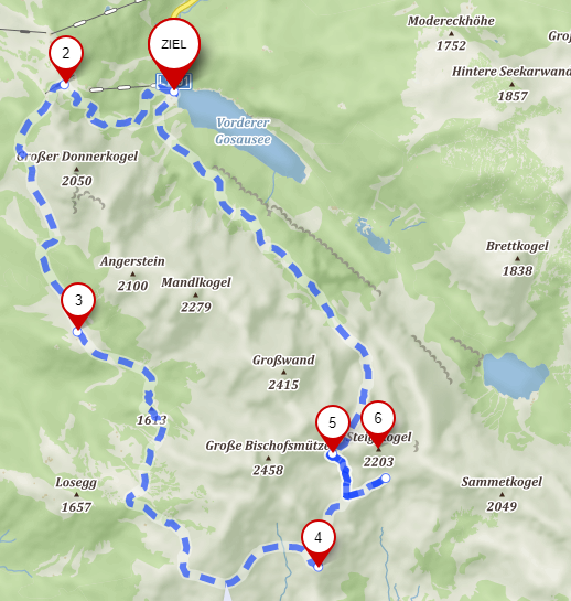
Source and editable version: mapy.cz. Ziel is starting and endpoint, 2 the Gablonzer Hütte, alternatively you can take the cable car up. 3 Stuhlalm, 4 Hofpürglhütte, where I slept, 5 Steiglpass, 6 summit Steiglkogel. Große Bischofsmütze is the highest peak of the Gosaukamm range.
Transportation
By train to Steeg-Gosau, there are direct ones even from Vienna via Linz. From there, changing to the direct bus to Gosausee (station is named Hintertal b.Gosau Vorderer Gosausee).
From Linz it takes all in all around 2.5h. I arrived at around 12:30 at the Gosausee, another option arrives 2h earlier.
Buses back for example at 15:55 and 17:25 in 2,5h back to Linz (or 3,5h to Vienna). Connections approximately every 1h, last at 18:25, slower ones take 3h.
By car just as well to Gosausee, a bit shorter but not significantly when you take a fast train.
Hike
If you want to start more relaxed you can take the cable car up to the Gablonzer Hütte, walking is depending on speed between 1-1.5h.
Top and bottom: the way up to the Gablonzer Hütte. Always scenic and as well a small water source for hot days (and on my day it was extremely hot). Due to the temperature, I also hurried quite a bit as thunderstorms were forecasted for the evening and I wanted to get as close to the Hofpürglhütte as possible.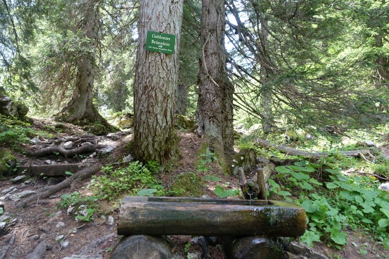
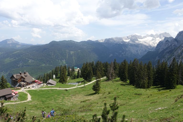
The bigger building is the Gablonzer Hütte, the building with the green roof to the right of the cable car station of the Gosaukammbahn.
This area got due to a famous via ferrata with a spectacular rope bridge quite crowded and there are always people with helmets around. I skipped it and just followed the signs to Theodor Körner Hütte. The path is easy but also in my opinion a more boring part of the whole circuit. Just before reaching the hut, which is in a forest, there is also Stuhlalm, where I stayed for a quick lunch.
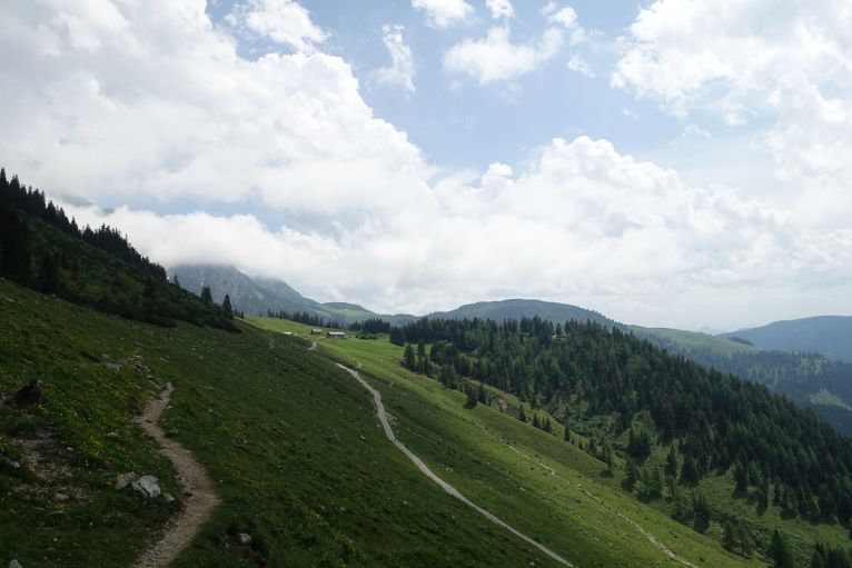
Buildings in the middle: Stuhlalm and hidden in the forest is the Theodor-Körner-Hütte, named after a German 18th century soldier and poet.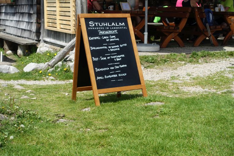
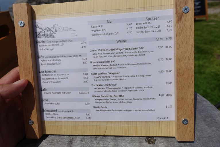
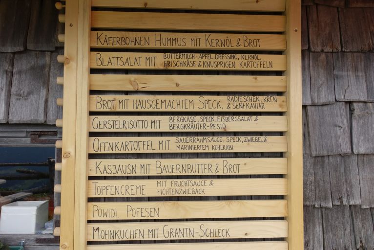
The menu, from which I chose the Gerstelrisotto (barley), was around 15€, delicious and never had anything similar to this.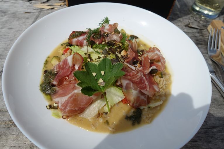
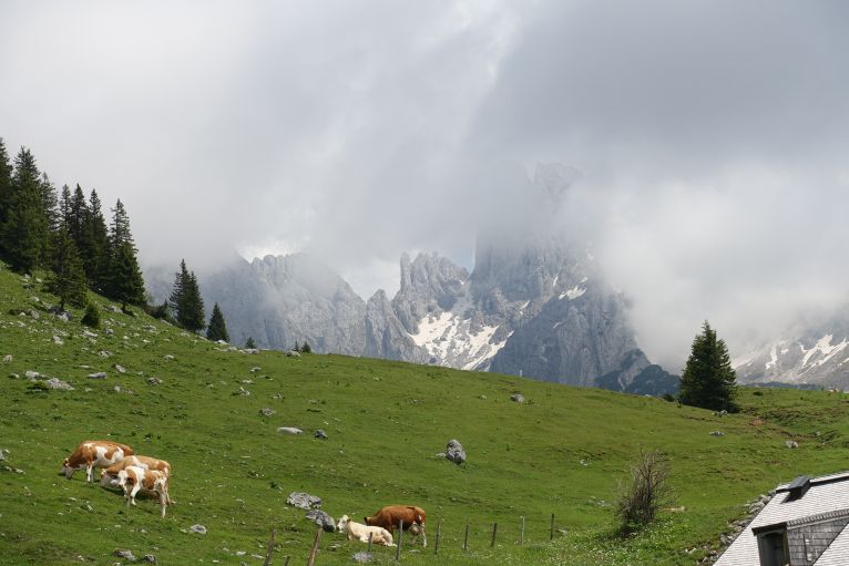
Just very rarely the dramatic peaks become visible due to all the clouds, but when it was the case it was worth every bead of sweat.
As a thunderstorm was forecasted for the evening, I kept the break rather short and set off via well-marked trails to the Hofpürglhütte. One short part is rope secured but has well constructed steps.
Top: The serpentines in the middle of the picture lead of to the saddle, hardly I have ever seen such clearly nice visible serpentines when approaching.
Bottom: in the middle of the serpentines the view back to the trail.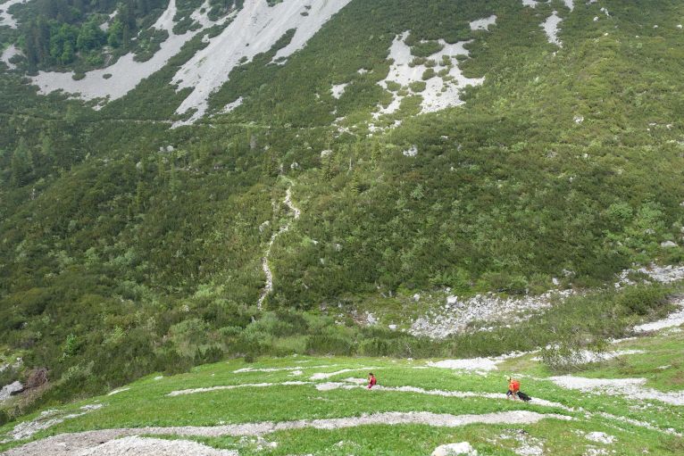

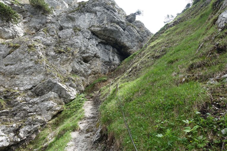
Top: Not too dramatic the rope secured parts but can be still slippery and for some maybe challenging.
Bottom: sign on the saddle with time estimations.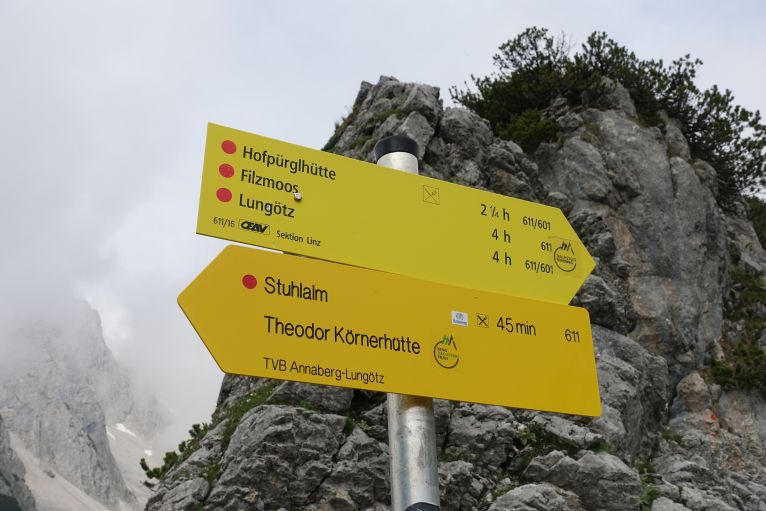
Shortly after reaching that saddle, Durchgangscharte on 1601 m, and while descending, the Hofpürglhütte gets visible, and the last minutes pass very fast. Around the hut there are many climbing possibilities and some nice stops to sit in the grass and just enjoy the view.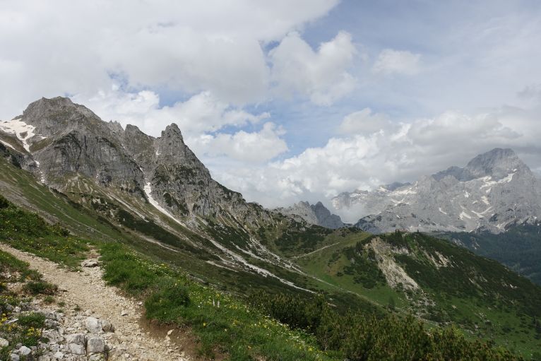
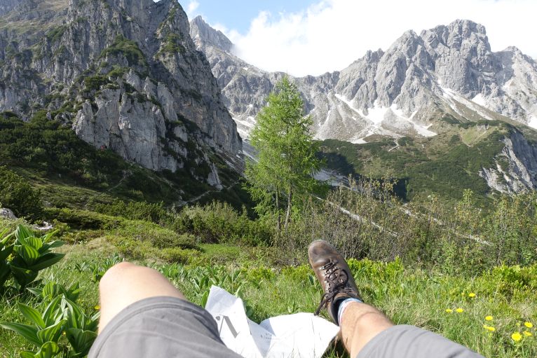
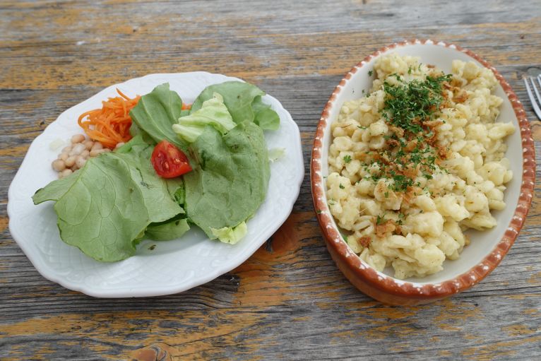
Classic hut food, cheese Spätzle, self-service, food was okay.
From the lake to the hut, including breaks, I needed as a fast walker 4h, the official time estimation 6h.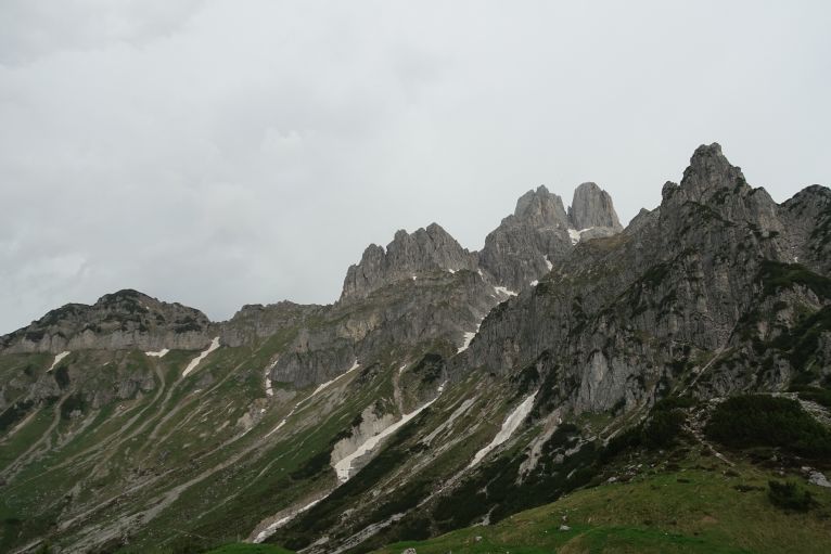
Within 20 minutes the sky changed from being clear with slight thunder sounds in the distance to being fully covered and clouds moving and covering everything fastly.
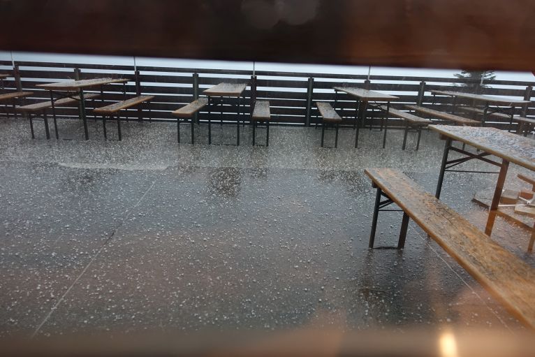
In the evening hail and heavy wind, good to be in a safe hut and not still on the way.
Second day: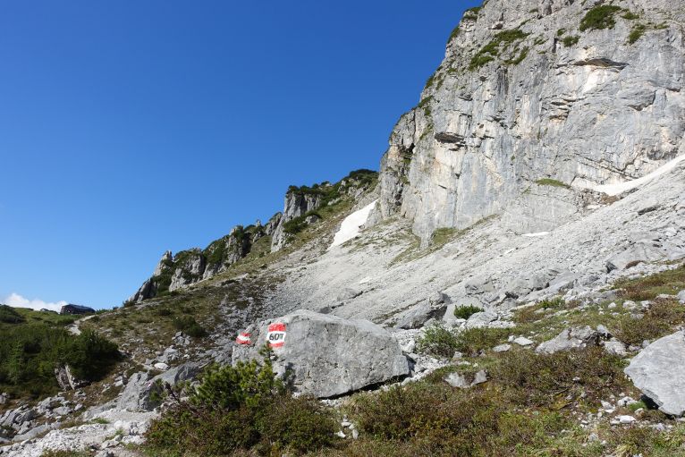
Many people, whom I met on the hut did the Dachstein circuit and continued to Südwandhütte (further to Guttenberghaus and Wiesberghaus and from there down to Hallstatt, also very good 5d option with public transportation, arrival at Gosausee, leaving via Hallstatt).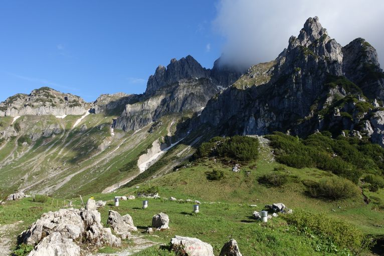
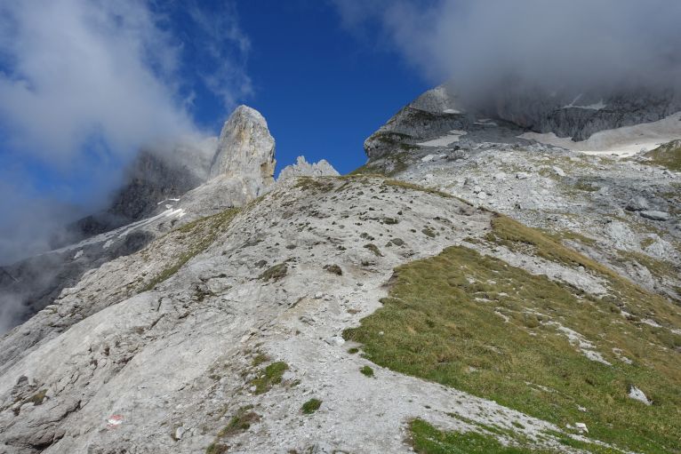
For going back down to the Gosausee there are two options: the longer, approximately 8h, via the Linzer Weg to Adamekhütte and from there back down to the lakes or the classic option, which I chose, via the Steiglpass to the Gosausee.
It is very well-marked in great landscape, always with the Bischofsmütze, the highest peak of the Gosaukamm, somewhere around.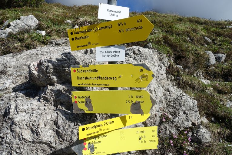
Just after reaching the pass there is the option to add the unmarked Steiglkogel, you see a clear path going to the right of the regular one, which you need to follow, every now and then are also very light red points on stones, but mainly the path is clearly visible. In June, I still crossed several snowfields (surprisingly to me on the regular path was hardly any snow anymore, was a bad winter in regard of snow fall), and at the last I missed the trail and then needed to scramble up some steeper rocky parts, worked as well.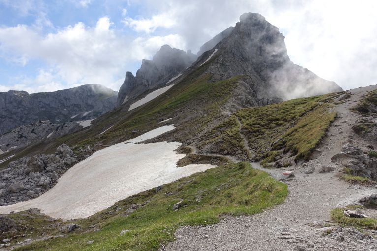
Top: This is just at the Steiglpass, after reaching it for going to the Steiglkogel you net to keep on the higher path to the right towards the snowfields, the normal path is just through the big central snowfield pretty much in the middle of the picture.
Bottom: when the clear path ends such light red points mark the trail, at this rock you need to turn to the right.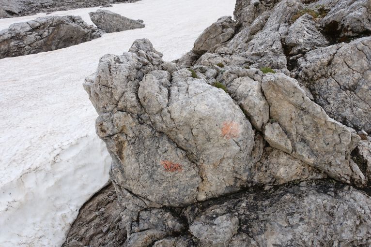
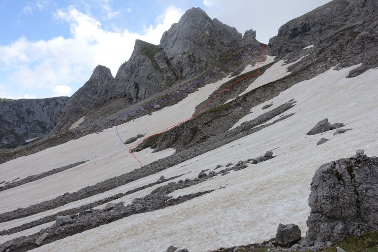
Top: where the red lines makes the curve it is the rock from the picture above, here turn right. I missed it and followed the purple line but in the end could connect with the path again although it was more annoying walking through all the rocky ground without any slight signs of a path. Iron ropes just before the saddle are a good orientation in case you lose the path, with less snow probably no danger though.
Bottom: red line is the way up, after missing it when going up, I managed it follow it at least when descending, for saving time I did not follow it all the way back but just all the way straight down and connected with the normal path again. Through snow fields it works super fast but even without its a nice short cut and avoids going all the way back to the Steiglpass.
For orientation, it's good to keep looking for the path and as well for iron wires which secure big parts of the hike once you get higher. From the saddle some easier climbing starts, in the beginning very easy but exposed you'll reach a chimney which is more tricky (maybe up to difficulty II), but no chance to fall here, always following the securing rope. Once the end is reached, there is a path again, which leads all the way to the peak. A small cross with a book is waiting for you and apparently a great view, which I didn't have due to the clouds.
Top: the rope to the right helps to feel safer.
Bottom: the mentioned chimney, where you need to climb through, in difference to the top picture you cannot fall anywhere here as it is very, very narrow.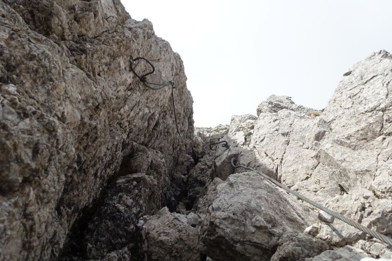

No view from the top, can happen, in early June I was the third entry in the summit book.
Going down is the same way, for me the chimney felt easier on the way up. If there are still bigger snowfields you can consider a more direct approach in the end and try to cut straight into the regular path (as well, without snowfields, makes more sense keeping to the right and not going all the way back to Steiglpass). The path is big and well-marked so impossible to miss in my opinion.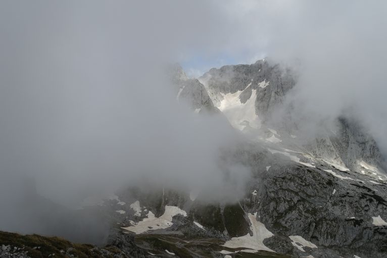
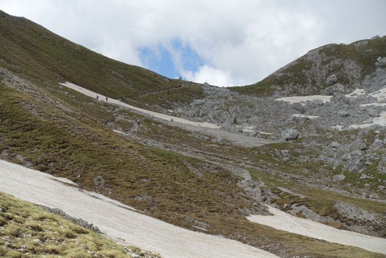
View back the the Steiglass with some other hikers approaching, on that day I was the only one adding the Steiglkogel.
Now just following the regular path again, some more time through great rocky landscape and then ending again on the other side of the Gosaukamm with pine forests. There is as well a small memorial for the many people who died climbing on the Gosaukamm, the most famous the early 20th century free climbing pioneer Paul Preuss, who died after 300 soloascents, when climbing the Mandlkogel.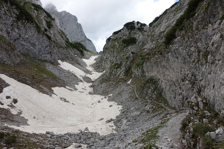
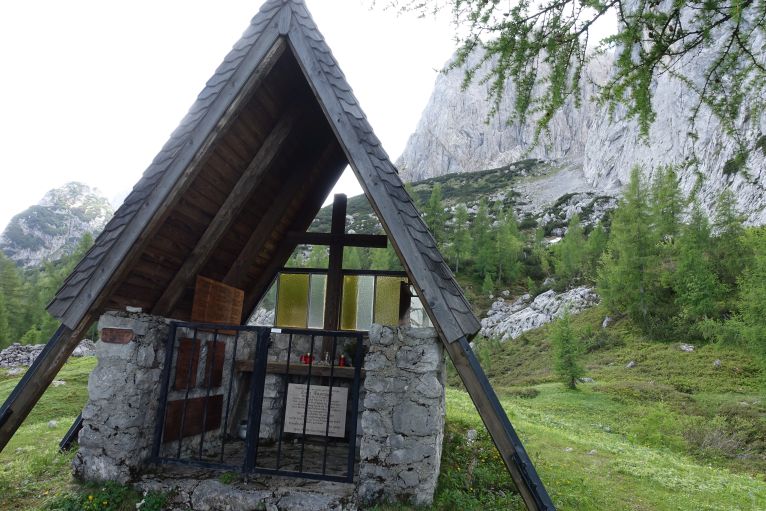
After the memorial always along the path, the Dachstein glacier in your back, along the mountain and then down to the lake.
With fast walking and the extra peak it took me a bit over 4h, the official time estimation from the Hofpürglhütte to the Gosausee is 4,5 hours.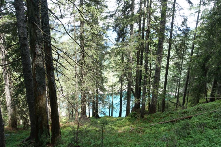
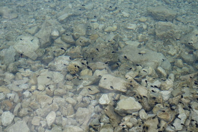
As every online text needs cute animals, here is a picture of tadpoles.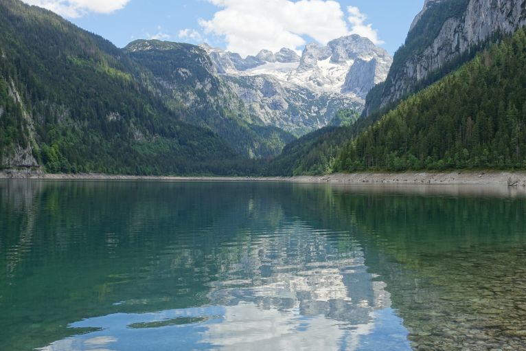
One last view back to the glacier of Dachstein and then back to the bus. If there is waiting time, no problem: there is a restaurant and the bank of the lake, also possible to go swimming, on that day it was too windy but on hot days it will be very refreshing, I just had a short nap on the bank, worse views and options to pass the waiting time till the next bus.
Trivia
The highest peak of the Gosaukamm is called Bischofsmütze , bishop´s mitre, due to the similarly shape, in 1993 a 200m high pillar broke loose and lead to a major rockfall. Most routes on the mountain are climbing routes, the easier accesible with via ferrata equipment (Donnerkogel) or on unmarked trails (Steiglkogel). It is just next to the Dachstein and therefore also formed out of Dachstein limestone.
