As I was in Vienna I was looking for a decent hike easily reachable by train, the most obvious options were Rax and Schneeberg on the Lower Austrian/Styrian border, around 1.5h from Vienna main station each. Schneeberg seemed easier to reach and has the highest peak of Lower Austria (Klosterwappen, 2076 m) so this was my choice. It turned out to be a good one, extremely divers, even alpine, paths and a gorge made it highly recommendable for motivated and experienced hikers living in Vienna. In total over 20 km of walking and 1700 m up and down. Pics from July 2022.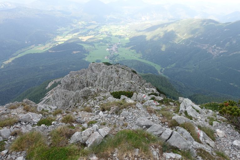
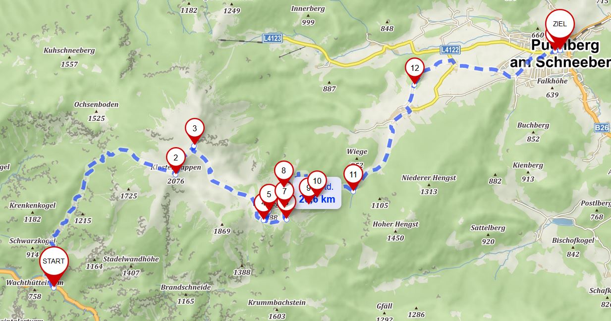
Source: mapy.cz
Transportation
Taking from Vienna a fast train to Wiener Neustadt, changing to regional train to Payerbach-Reichenau till the final stop and then taking bus number 341 to Höllental Abzweigung Weichtalhaus. 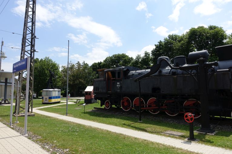
Returning from Puchberg am Schneeberg, on the other side of the mountain, regional train to Wiener Neustadt and then again fast one to Vienna. 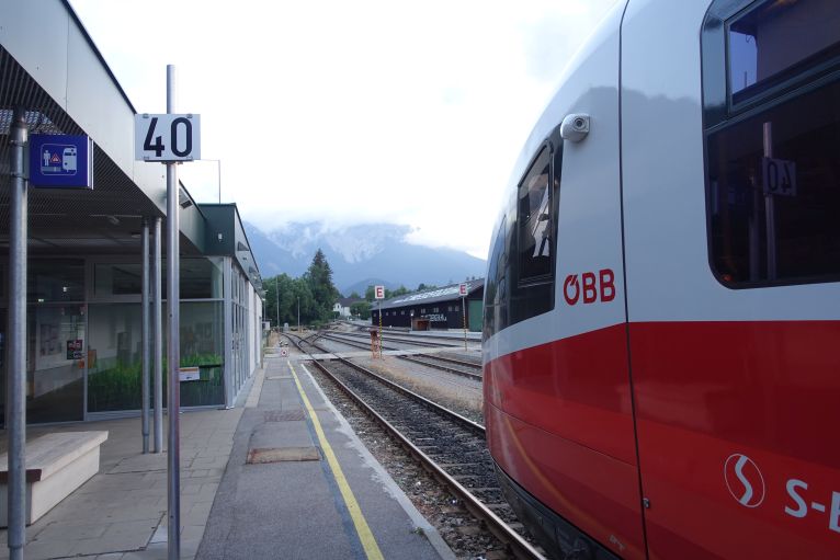
Puchberg station with Schneeberg in the back.
Hike
From the bus stop just via the parking lot to the Weichtalhaus. There you have two options: the easier Ferdinand Mayr- Weg or the way more interesting, but also more challenging path through the Weichtalklamm (gorge), both taking approximately the same time. 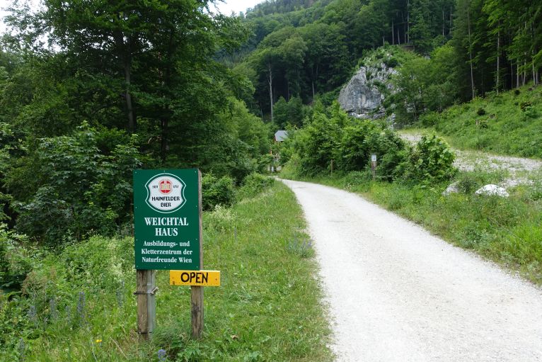
In the back the Weichtalhaus, on the rock there are several climbing routes and via ferratas for beginners.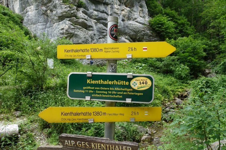
Through the gorge it is beautiful, a narrow path is leading first through a forest and then later through narrow paths covered on both sides from high rocks. Several ladders and other iron installations are helping on more difficult parts, it is never exposed or dangerous, just slippery. 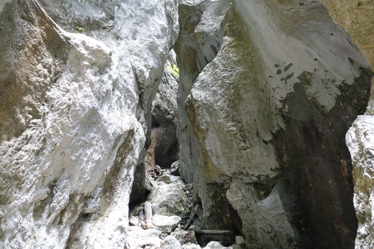
Always some ladders and big rocks next to you, very divers and fun to go through it, think also with children you know how to climb ladders.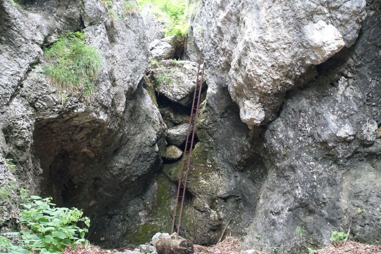
Via the Kienthalerhütte I continued to the Klosterwappen, forest path and the last part above the tree level, therefore also with a better view. From the bus station till the peak it is marked with 4.5h, without any breaks it took me under 3h.

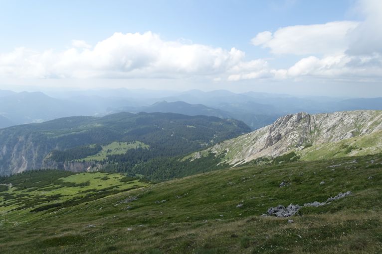
View towards the West, some parts still in the sun, unlike the top of the mountain.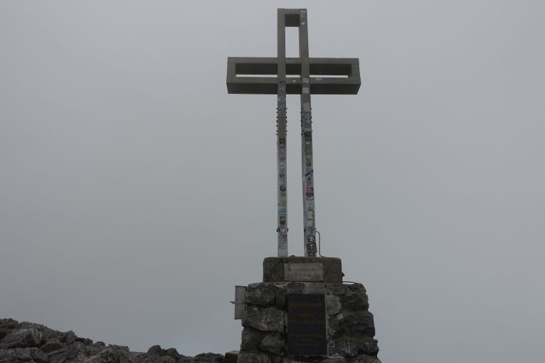
Unfortunately, there was not any view. Clouds covered the whole higher part of the plateau and despite having 30 degrees in the valley, I was very happy to have my rain jacket against the wind and as a second layer.
From the Klosterwappen you can either go immediately towards the Damböckhaus or, as I did it, having a break in the Fischerhütte. 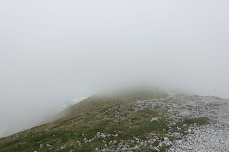
Not much view, but path is visible enough for not losing it.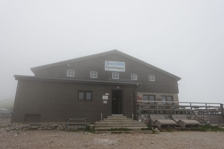
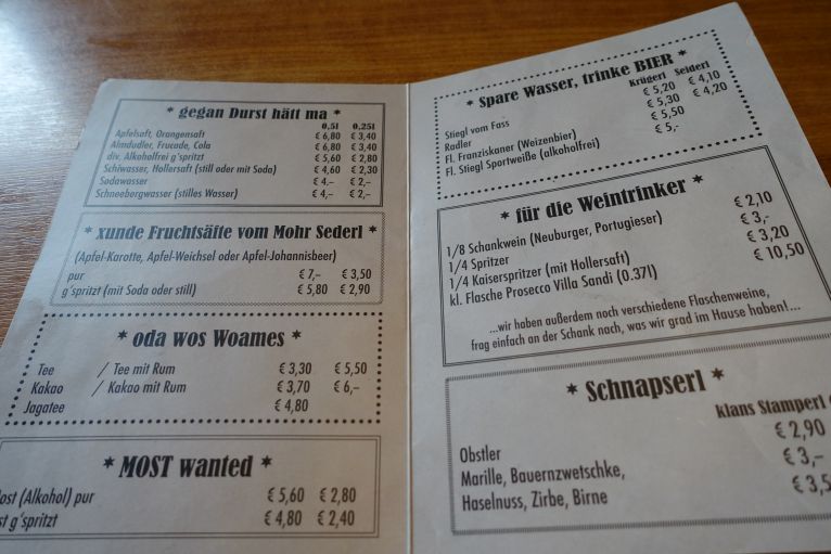

As usual, I went for Käsespätzle/cheese noodels, always a solid (vegetarian) choice on any hut.
Approximately an hour is the upcoming path via the plateau to the Damböckhütte, another optional rest place, just along a street and not too thrilling. Behind the Damböckhütte a summit cross gets visible, the Waxriegel, and before descending I decided to go for it as well. Keeping to the right of the cross and bit after a crossroad to the right and with no signs for the Waxriegel (but the visible cross), I just went through the grass to the top. Hardly a detour and in my opinion with the 15 min extra.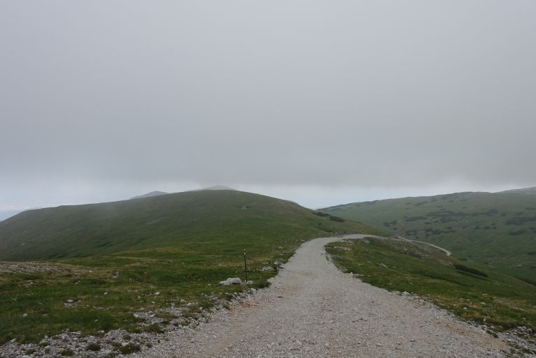
Path/road from Fischerhütte to Damböckhaus.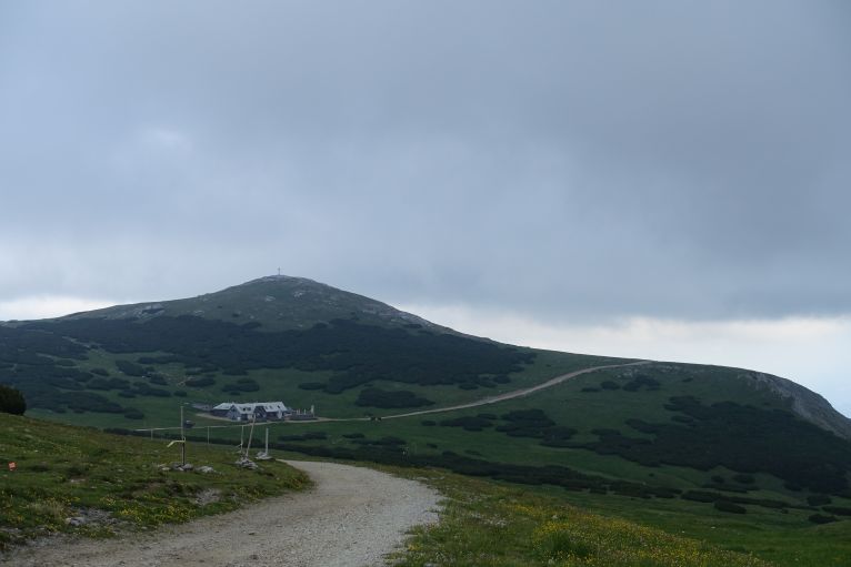
Damböckhaus and in the back the cross of the Waxriegel, I followed the street to the right of the cross and ascended it from this side.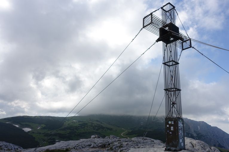
Nicely done cross with signs to the neighbouring major cities. The Klosterwappen and Fischerhütte hidden in the clouds.
Descending then just towards the Schneebergbahn train station, it is one of three rack railways still operating in Austria. From the village of Puchberg and brings tourists in around 90min to the plateau of the Schneeberg.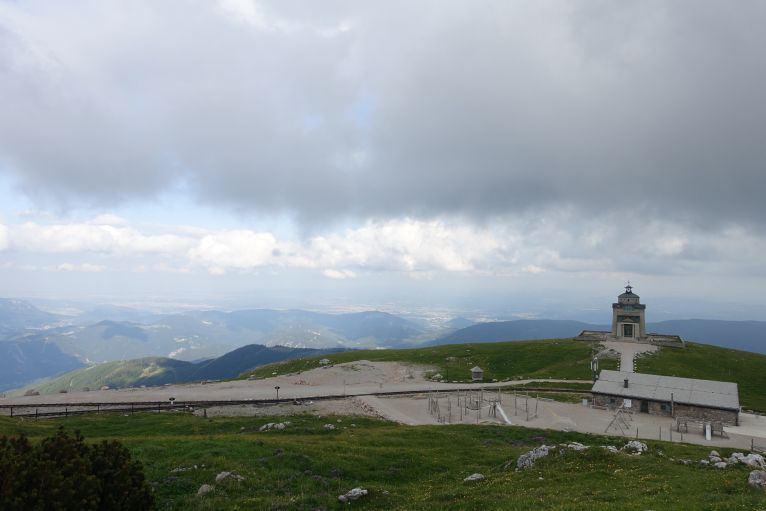
The mountain station of the Schneebergbahn, in the back a nice chapel.
Now you need to decide how to descent, one option of course the train, costing around 30 € and taking 70 min down, more interesting for me the hiking options: either via the rails in around 3h to Puchberg or some funny alpine stuff down a ridge. The Herminensteig was a great choice and awesome for descending, constant climbing and usage of hands, slippery gravel made it challenging though. Therefore, not recommended if you have never done such a thing as it is for close to an hour climbing down, often in the first climbing grade. After leaving the ridge, which was a pity, it is just walking through mountain pines and becomes a rather normal path again.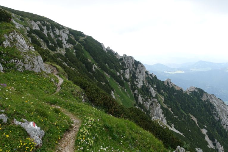
The approach to the ridge, which you can already see here. On the ridge is the Herminensteig for descending.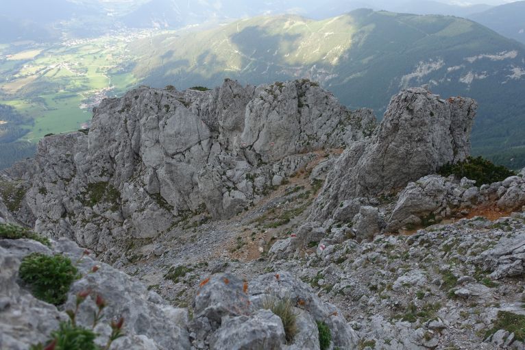
Many flags showing the easiest path along the ridge through all the rocks.
Often with parts like this, climbing down 2-4 m, not too exposed though, but was happy having my poles in the backpack and my hands free to use for climbing.
There is then a connection path through a forest to the lower Herminensteig: this involves hardly any climbing, just forest paths, only at one point there is the decision if either to climb down a rope secured I+ part or walking around. After the short climbing part there is even a small register book. 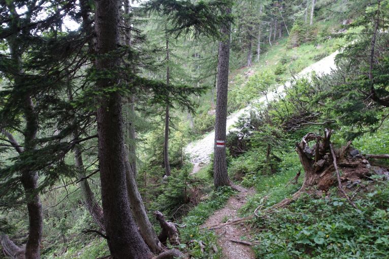
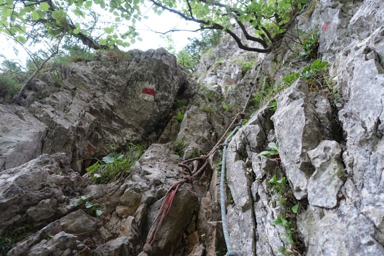
The key part, when descending, a I+ climbing part, with ropes for holding and as well an opportunity just to walk around and avoid the difficulty.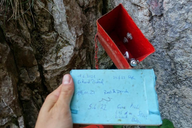
The rest of the path is quite ordinary, descending through forests, in the end forest roads, all the way to Schneebergdörfl. From there it is a bit longer than an hour still to Puchberg, there is a hiking path through the fields. In my opinion it is also worth the consideration of walking along the street and trying to hitch-hike: the fields were not that thrilling and despite some very green grass with the Schneeberg in the back, not much to miss there.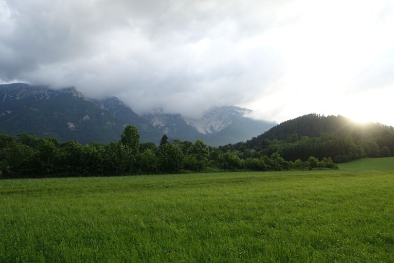
In Puchberg just to the train station and returning to Vienna (or somewhere else).
I needed a total of 6.5h, fast, sometimes running, hardly breaks, so especially with shorter days better starting earlier. The last train from Puchberg leaves at 21:35 and 1.5 h later you're back in Vienna.
Trivia
Big majority of the mountain plateau is owned by the city of Vienna, who use springs from the mountains since the opening in 1873 for providing fresh and clean tap water to their citizens. Back then, it was an extraordinary masterpiece of engineering. The 95 km long pipes were just exactly in such a way constructed, so that the water can run all the way to the north without the need of pumps, just with the natural descent.
